Using high-resolution satellite instruments to determine methane emissions
Reducing fugitive emissions from fossil fuel is a very cost-effective way of reducing total CH4 emissions, and a lot can be done to reduce agricultural and land-fill CH4 emissions as well. EYE-CLIMA will develop methods to support monitoring of fossil fuel and other point emissions of CH4.
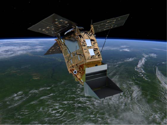
Enormous progress has been made in detecting mega-emitters of CH4 from gas and oil facilities, as well as from large landfills, from high-resolution satellite instruments, such as TROPOMI. EYE-CLIMA will build-on these technological advancements and develop a preoperational system for estimating emissions from mega-emitters and incorporating these estimates into emission inventories.
Furthermore, EYE-CLIMA will use high-resolution hyperspectral and multispectral satellites, such as PRISMA, Worldview-3 or Sentinel-2, as well as future dedicated satellites, such as MethaneSAT and CarbonMapper (both to be launched in 2023) to identify and quantify medium to large emission sources of CH4.
EYE-CLIMA will work on improving the identification of CH4 plumes from satellite observations in areas with high background mixing ratios, and quantifying the emissions, using machine learning and atmospheric transport modelling. Data from high-resolution satellite instruments will also be combined with data from coarser-resolution satellite instruments, e.g., TROPOMI on Sentinel 5P. Emission estimates derived from satellite observations will be included in emissions inventories.